Why just dolines?
- Because "dolines are diagnostic karst landforms" – Derek Ford (karst researcher).
That is, according to this sentence, where karstification takes place (which means that dissolution processes drive landform evolution),
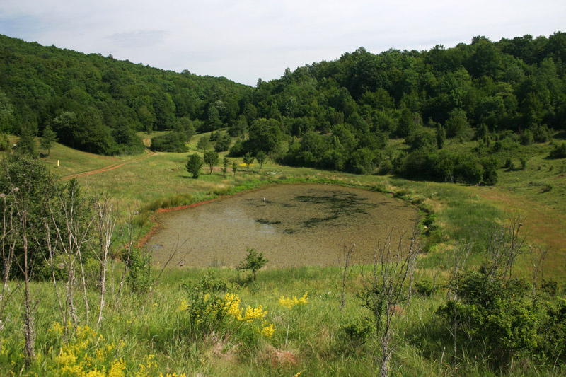
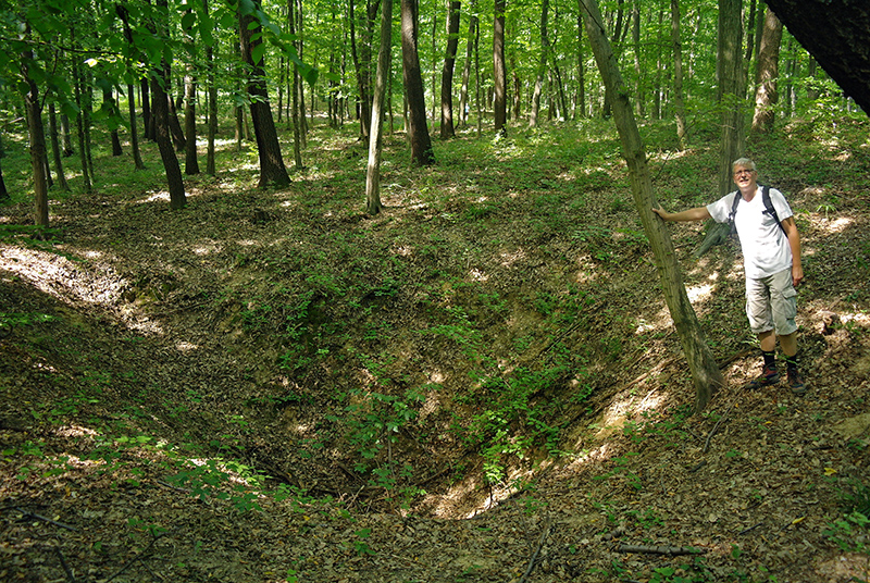
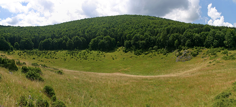
there are a large number of bowl-shaped depressions, i.e. sinkholes (or dolines) on the surface.
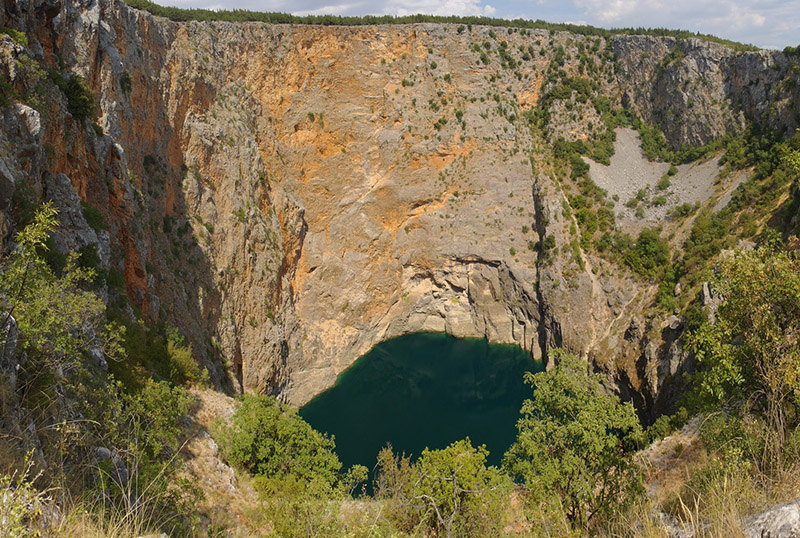
These landforms are mostly formed by the infiltration of water. Nonetheless, there are also collapse dolines, which are rare in Hungary,
but in other karst regions there are also a large number of them - some of them are giant and spectacular forms
(such as Cetățile Ponorului/Castle of Wonders in Transylvania, Škocjan in Slovenia or Crveno jezero in Croatia).
Why just Aggtelek, Bükk and Mecsek mountains?
- Although the above Ford quote can be considered true for most karst terrains, it is typical in Hungary that some of our karsts are tectonically fragmented into small parts and therefore there was "not enough place/water" for the formation of dolines. These are the so-called "Transdanubian-type karsts", which are thus poor in surface karst forms, but rich in caves (often of thermal water origin) and karst water. The name suggests that they occur mostly in the Transdanubian Mountains. The other significant type in Hungary is the so-called "Aggtelek-type karsts". They abound in both surface and subsurface karst forms (caves), so there are lots of sinkholes in their terrains. Therefore, this online doline map shows the Aggtelek-type karsts, namely the Aggtelek Karst, the Bükk Mountains and the Mecsek Mountains (the latter, although located in Transdanubia, can be classified as "Aggtelek type" based on its geomorphology).
What are the data sources of the map, and the meaning of the layers?
- The centres and outlines of the sinkholes were determined based on 1:10 000 scale
(i.e., highly detailed) topographic maps.
In reality, the dolines are slightly larger than the area outlined using the map contours.
Of the online base maps, OpenTopoMap is a great terrain map, but its contour lines are based on global terrain models,
so its detail lags behind the topographic maps used for data collection, therefore most of the sinkholes do not appear with a closed contour line in OpenTopoMap.
"Doline terrains" mean areas that are lithologically and topographically suitable for the formation of dolines.
Lithologically, limestones and dolomites are the most characteristic, but especially the former.
The topographic condition is that the general slope of the terrain should not be too steep, which typically (but not exclusively) means slopes smaller than 10-12°.
"Surface karst" on the online map means the surface extension of rocks suitable for karstification,
which has been determined on the basis of geological maps. However, it is important to note that the outlines depicted on this map
have undergone a very significant simplification ...
Anyone who has been to the karstic parts of the Mecsek Mountains could see how many small dolines there are.
Many of these are only marked with a symbol on the map, because even with this detailed scale,
they can’t really be represented by contour lines. These small depressions are marked by the "Mecsek, tiny dolines" layer.
Are you interested in numbers?
- Then (if I have time) I will demonstrate here some statistical characteristics about sinkholes...
In the meantime, if someone would like to look after research on the dimensions of sinkholes, they can do so at the following link:
Doline morphometry.
Further on, I note that nowadays, the
LIDAR survey
is a better way to determine the size of sinkholes than topographic maps. Unfortunately, LIDAR datasets are not available about all Hungarian karst terrains.
For a comparison of the two methods, see the following
ARTICLE in Acta Carsologica journal.