Some 3D models and online maps created in the framework of research projects are presented below. Click on the map image to see details!
3D Models of karst landforms

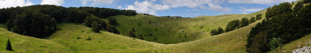
Some doline landforms are presented as interactive 3D models in the following page: 3D Geomorphology
Karsts and national parks and geoparks

Karst terrains are full of spectacular landforms (caves, gorges, collapse dolines) and of rare and valuable plants. Thus, they are often protected areas. In Europe, one fourth of all national parks and one half of all geoparks can be considered partly or fully karstic. This map presents the location of each European national park and geopark, and the legend (colour) shows the presence of karst phenomena in them. Nevertheless, it is interesting in itself to see the spatial distribution and different density of national parks and geoparks in European countries.
Sinkholes map (Hungary)

Dolines are the most characteristic surface landforms of karst terrains (in general, but not everywhere). There are Hungarian karst terrains, where you can find a lot of them, whereas in other karst areas, there are only few of them. This online map shows almost all dolines found in the main "doline-rich" Hungarian karsts. For further info and some photos see the INFO of this map.