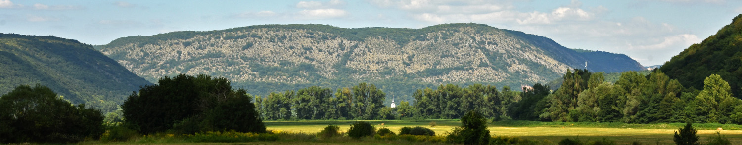

First, we are interested in the landscape, thus we go to the field to observe the landforms, the caves, the land use, the villages, the tourist infrastructure...
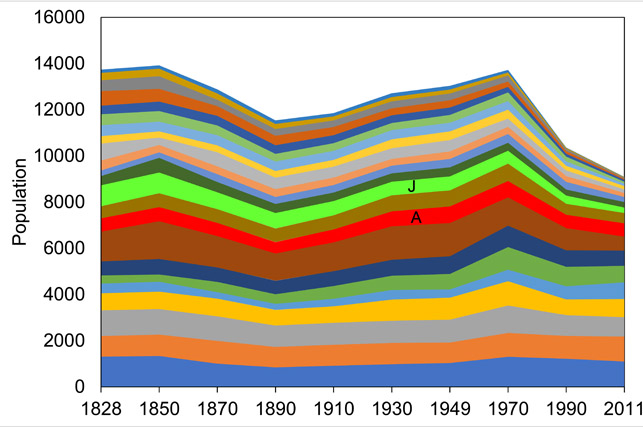
Second, we dig into statistics to see how densely the area is inhabited, how it has changed through history, how people used and still use the landscape, how much they gain from tourism...
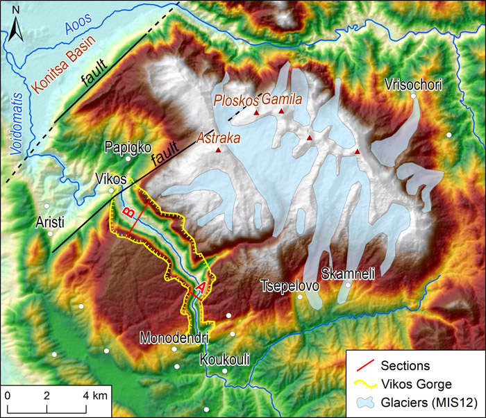
Third, we study maps and GIS databases - and we create new ones...
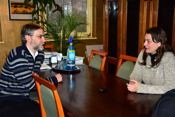
Fourth, we make interviews with interesting people: NP managers, local stakeholders, external experts...
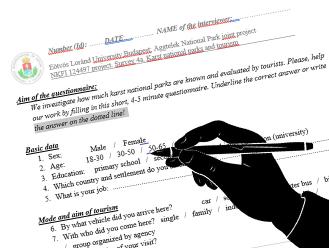
Fifth, we ask lots of people using a questionnaire survey: local people, tourists...